The Siding Of
Woodside
| West to Grassy |
The Siding Gallery, by design, does not show any trains (unless it is unavoidable) in pictures of the sidings. This is so you can see the layout of the land and get your own ideas on how to take pictures of trains. However, if you'd like to see pictures taken from various spots at this siding, then you can Search the Photo Gallery for pictures here on ColoradoRailfan.com!
The Siding of Woodside is located at milepost 581.4 on the Green RiverSubdivision. When it was first constructed, Woodside had the name "Lower Crossing".It wasn't until 1890 that its name was officially changed to Woodside. There wasonce a water tower, telegraph office, and wye at Woodside, but by 1945, all hadbeen removed or taken out of service.
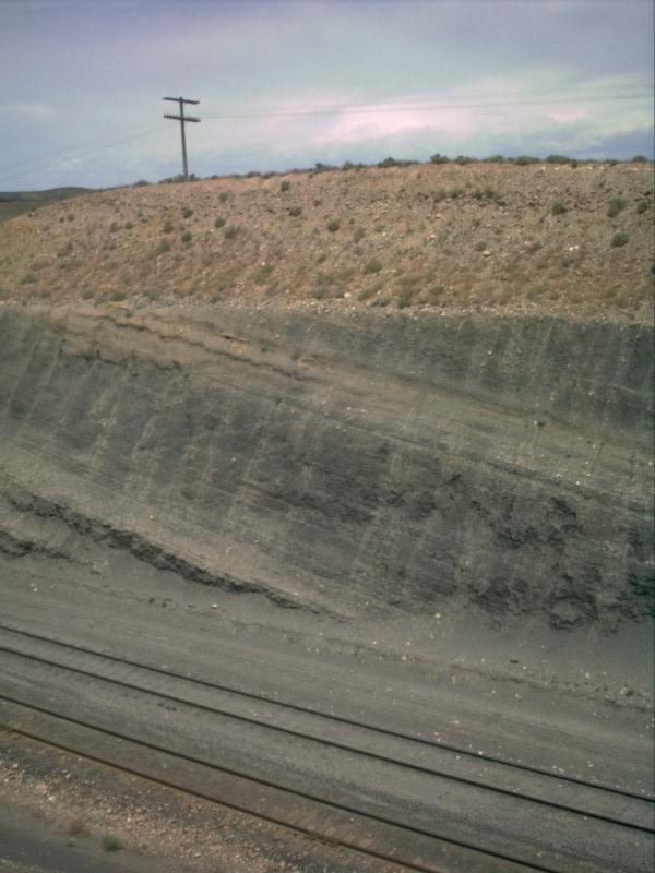
We'll start Woodside at the east end of the siding. Just a short ways into thesiding from the east end, the tracks run through a dirt cut. The ties are actuallyburied by the dirt through the cut!
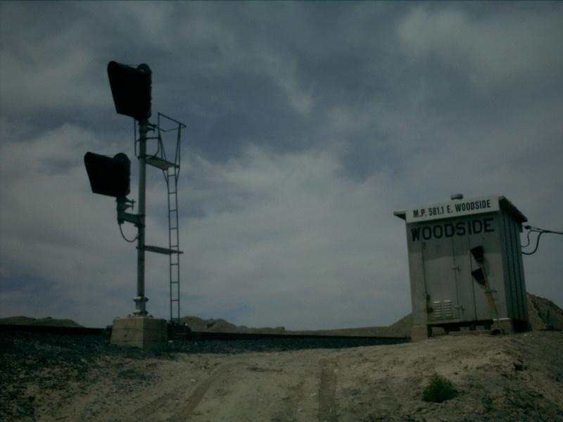
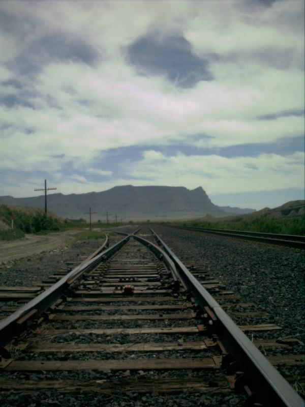
Picture 1
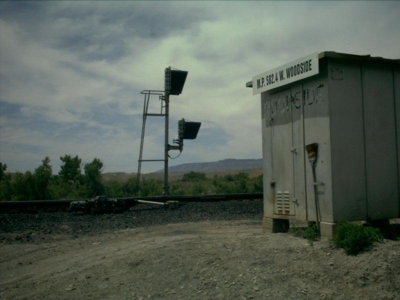
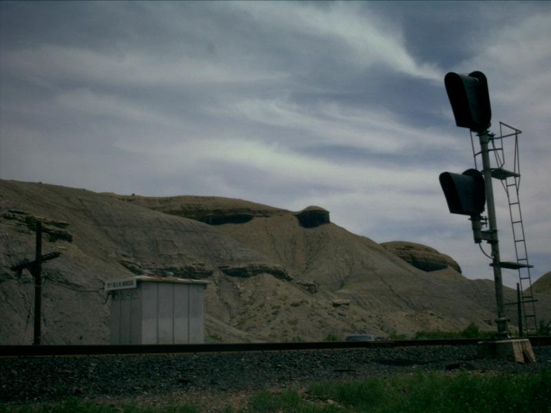
"Green_Sub\Woodside\Woodside" is still very prevalent on the side of the control box at the eastend of the siding. The east end of Woodside here is just (trackwise) south of thesmall town of Woodside, right off of US Hwy 6.
Picture 2
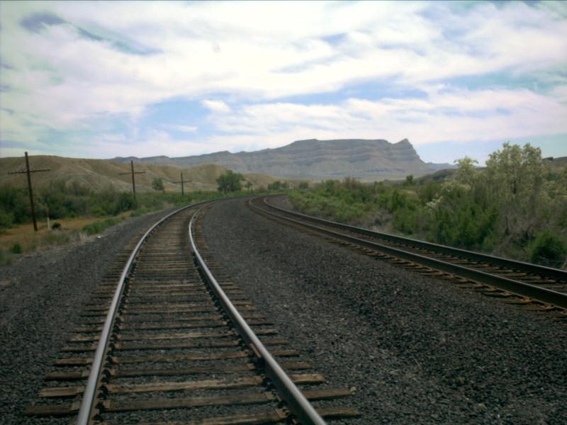
Straight ahead here you can see the dirt cut that the tracks run through. Itlooks like as though there might be a dirt grade crossing, but that is merelyrunoff dirt building up in the rails.
Picture 3
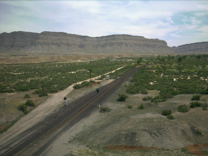
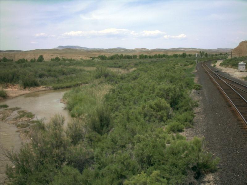
Looking east, we see the large number of shrubs in the area. Here atWoodside, the Price River converges with the tracks again. Just to the rightof the ridge in the distance is where Green River, UT is located.
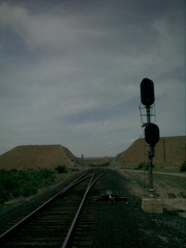
Picture 4
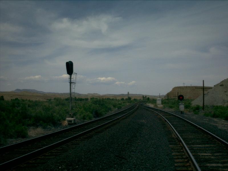
Looking trackwise south, we can see that the siding is slightly lower thanthe mainline. It is also characteristic of dwarf signals to be single lightsignals, instead of three lights.
Picture 5
Here is a picture taken from on top of the dirt cut. The small town ofWoodside is straight away in the picture.
Picture 6
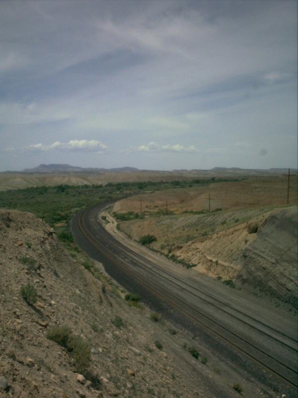
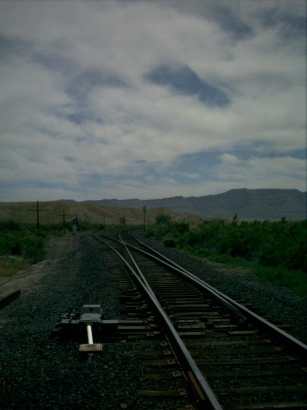
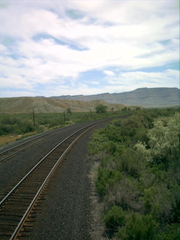
Looking in the other direction, the tracks leave the cut and curve aroundto the north, toward the west end of the siding and eventually further uptoward the top of Cedar Hill. Woodside is the low point between Vista Hill tothe east and Cedar Hill to the west.
Picture 7
Looking down into the cut, the dirt that forms the cut can be clearly seen.You can also see, or rather not see, the ties under the rails. They are totallyobscured by dirt which has built up from the cut.
Like with most sidings, Woodside has a house track. Woodside's housetrack is actually slightly longer than the average house track. It is almosthalf the length of the siding!
Picture 8
Roughly halfway through the siding, we look to the west. The Price Riveris just on the other side of the brushes along the tracks. In the distance,the ridge the tracks are running toward is nearly the west end.
Picture 9
Looking east, we see the house track break away from the siding.
Now at the west end of the siding, the grade levels out slightly,decresing from 0.3 percent to 0.25 percent. Before reaching Grassy, the nextsiding to the west, the grade will increase to 1 percent on the climb towardthe top of Cedar Hill.
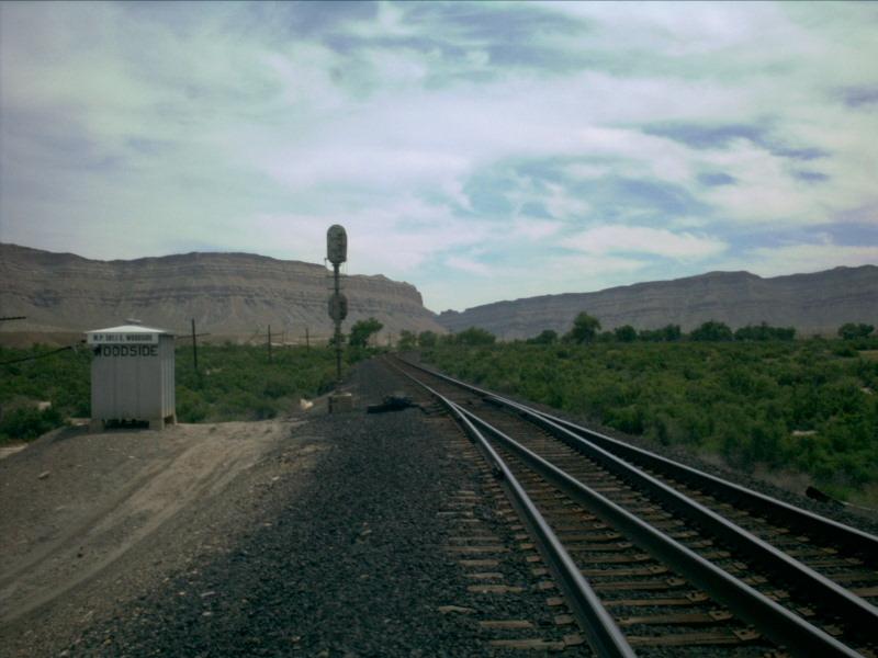
Picture 10
A few shrubs seek shelter from the heat in the shade of the control boxhere at the west end of the siding. The "Green_Sub\Woodside\Woodside" painted on the side of thecontrol box has worn off quite a bit!
Picture 11
Looking through the points of the switch at the west end of Woodside,the siding diverges to the left, putting it on the north side of the mainline.
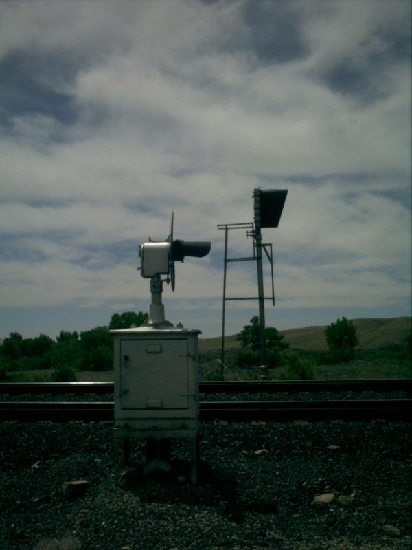
Picture 12
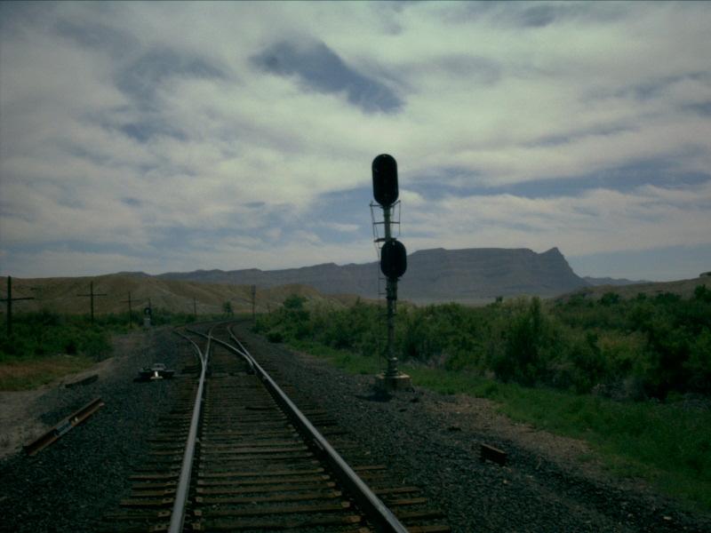
The signal at the west end is typical of most sidings out in the desert.It has two searchlights, the one on top with three lights (red, yellow, and green)and the one on the bottom with two lights (red and yellow).
Picture 13
As the north side of the tracks are not directly along the Price River,there is not much vegetation growing. Instead, it is characteristic of thedesert with dirt mounds rising up from the ground.
Picture 14
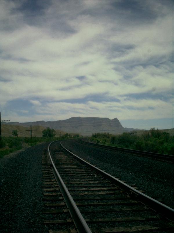
A slightly elevated prospective shows the Price River river alongside thetracks. After the curve to the right ahead, the tracks and river diverge, notrejoing one another until nearly Price!
Picture 15
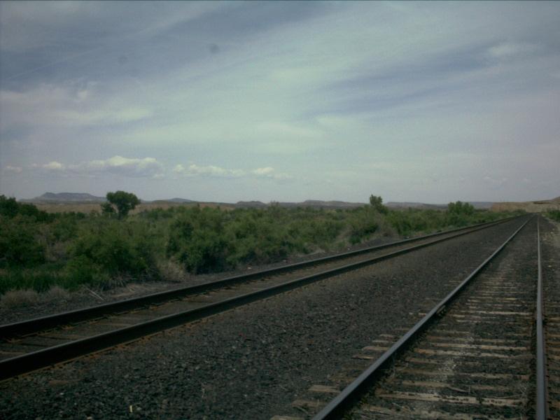
Here is a shot looking to the east.
Picture 16
Again looking east, just east of the block signal on the siding.
Picture 17
It looks as though there is a minor depression in the grade at the west endbefore rising back up again. Note that the signals on the siding at Woodside arenot approach lit, but "always on".
Picture 18
We close up Woodside with one final look to the east.
WOODSIDE STATISTICS
EAST SIGNALS
WEST SIGNALS
Date Added: 5/28/2001
Subdivision.. Green River
Milepost..... 581.4
Length....... 6,310 feet
Speed........ 70-60
Dispatcher... DS-84 (Trick 2) / DS-78 (Tricks 1,3)
AAR.......... 54 (160.920)
House Track.. Yes, approx 2,500 feet
Branches..... None
Grade Xing... None
Access Road.. Yes, Full Length (Railroad Access Only)
Westbound......... Approach Lit
Eastbound Main.... Approach Lit
Eastbound Siding.. Always On
Eastbound......... Approach Lit
Westbound Main.... Approach Lit
Westbound Siding.. Always On
Last Data Update:
Last Picture Update:
|
|
Check out ColoradoRailfan.com on Facebook |
|
|
Check out the latest ColoradoRailfan.com photos on Flickr |
|
|
|
||||||