The Siding Of
Grassy
| West to Cedar |
The Siding Gallery, by design, does not show any trains (unless it is unavoidable) in pictures of the sidings. This is so you can see the layout of the land and get your own ideas on how to take pictures of trains. However, if you'd like to see pictures taken from various spots at this siding, then you can Search the Photo Gallery for pictures here on ColoradoRailfan.com!
The Siding of Grassy is located at milepost 586.6 on the Green RiverSubdivision. This section of the desert is very prone to washouts. Due tosudden surges of water across the soft desert floor, land can quickly becomerelocated. To prevent the railroad from being washed away, Grassy was constructedon top of one long fill. The grade also decreases a bit at Grassy on the climbtoward Cedar Hill, the summit being at the east switch of Cedar. The grade decreases from ~1.15 percent (from Woodside to Grassy) to ~1.05 percent (fromGrassy to Cedar).
Starting at the east end of the siding, looking up grade toward Cedar Hill,the fill can be clearly seen as the actual desert floor is considerably lower.There is also some truly spectacular scenery to be seen out here in the middle ofnowhere!
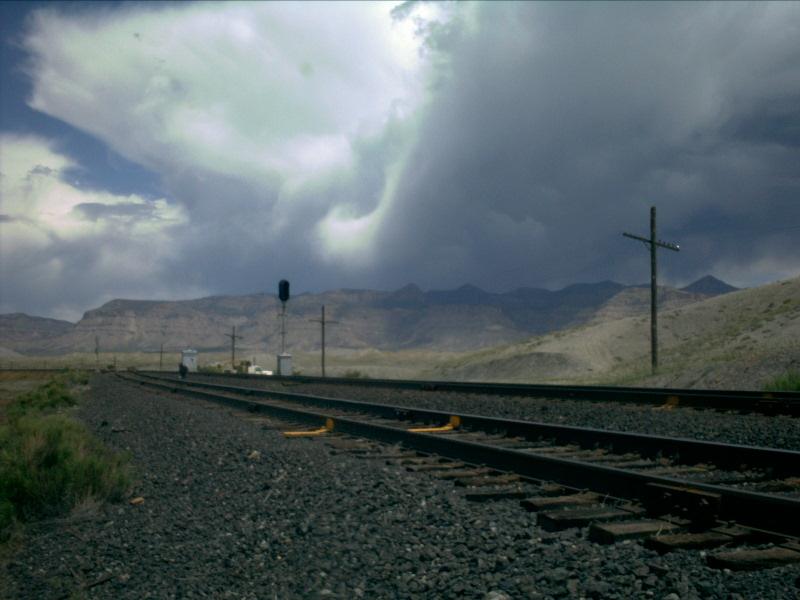
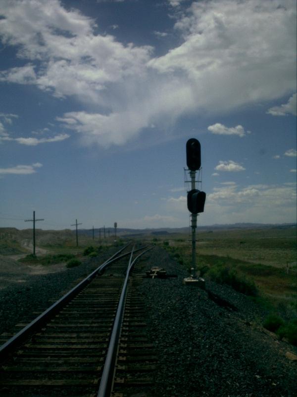
Picture 1
The tracks sit elevated and bare of vegetation here at the east end ofGrassy. Despite the lack of vegetation on the fill itself, it is rather clearto see where Grassy gets its name from. On either side of the fill, there islow-level grass all around.
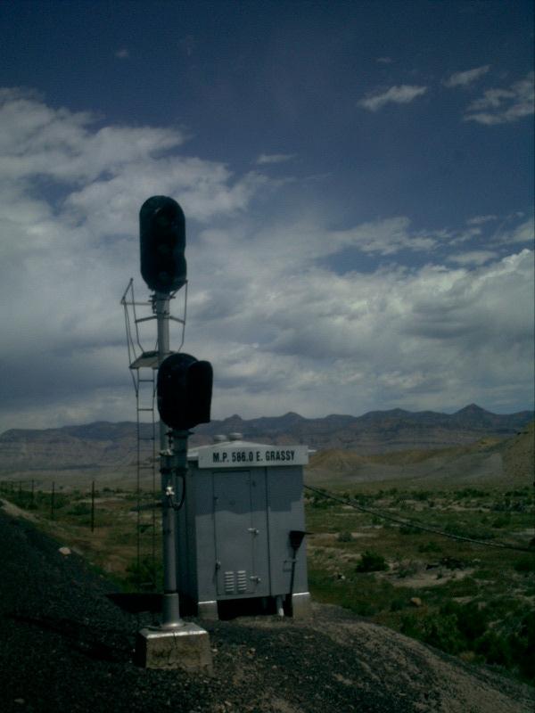
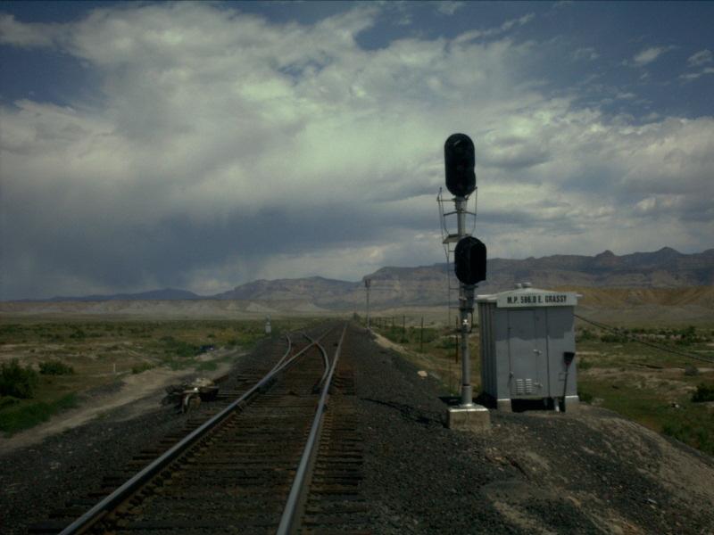
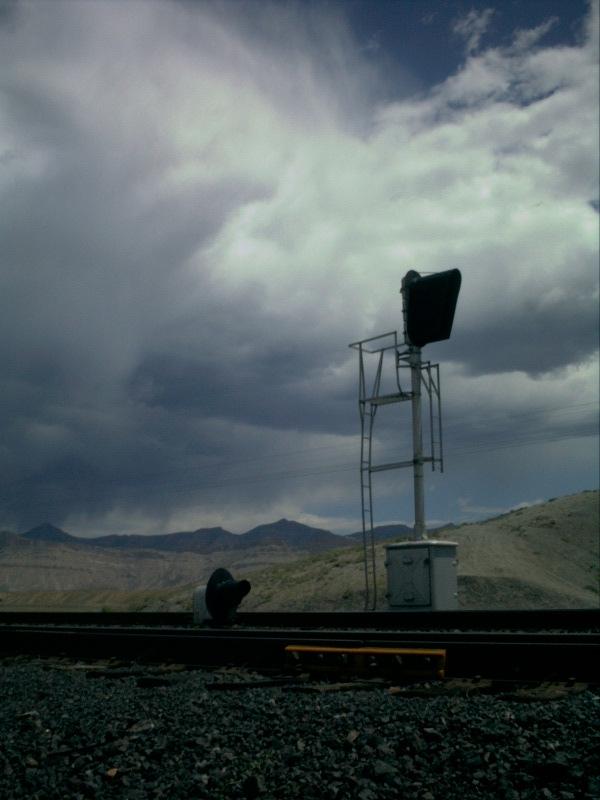
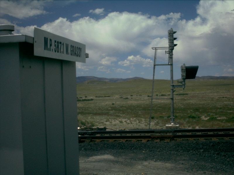
Picture 2
Taken from the same spot as the above picture, this shot concentrates abit more on the control box. The scenery is excellent here too, flowing fromgrassy, to desert dunes, to clouds mixed in with blue sky!
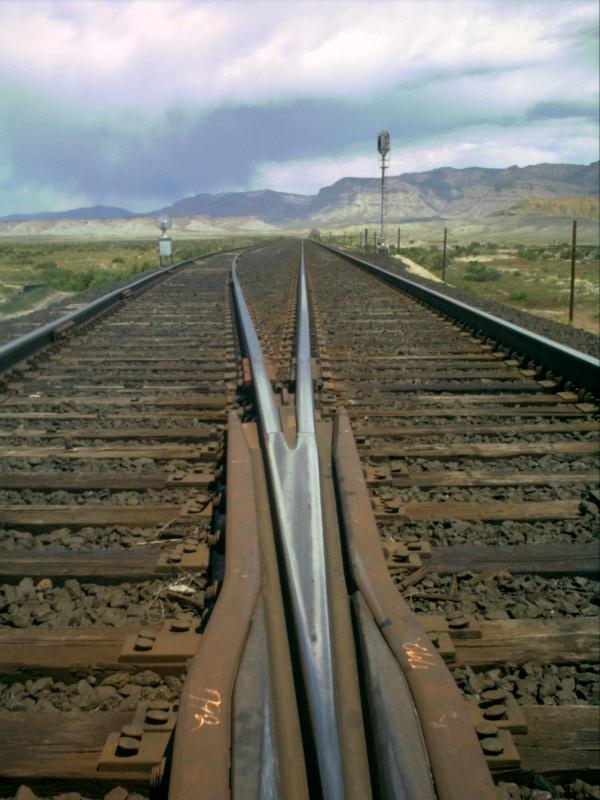
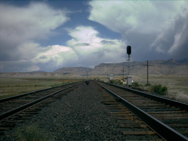
Picture 3
The same rust-colored ties that we saw at Westwater can be seen here atGrassy as well. Still at the east end, this shot looks through the frog ofthe east switch.
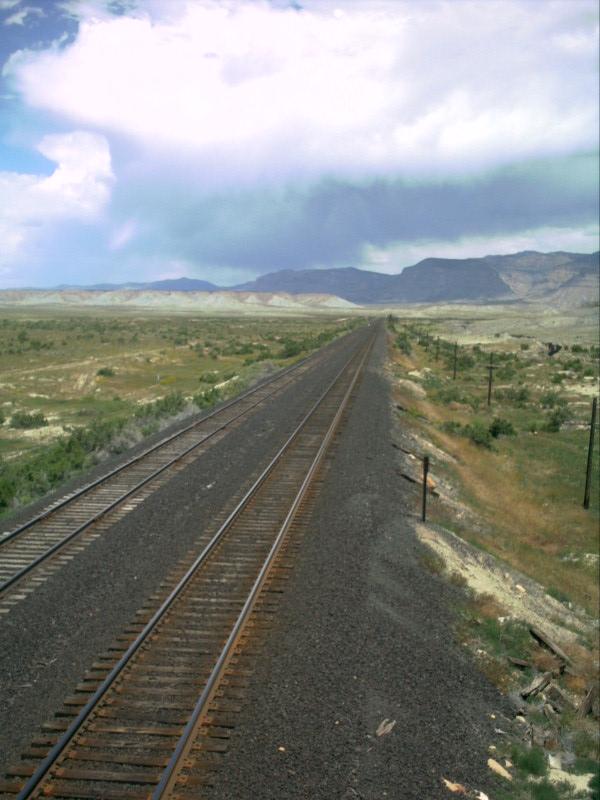
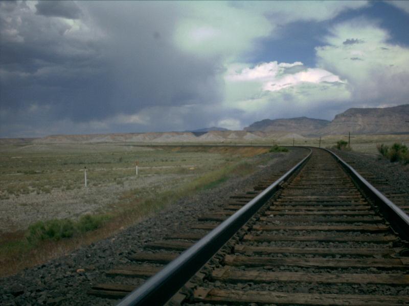
Picture 4
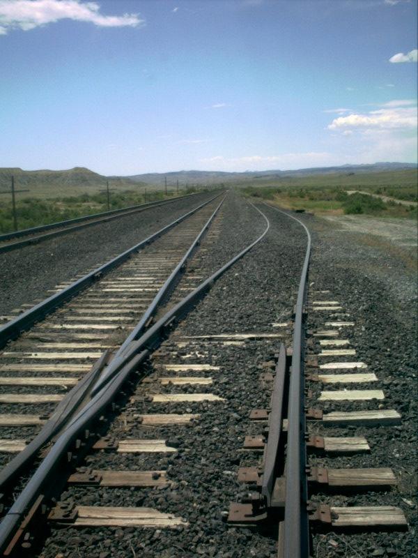
A slightly elevated perspective demonstrates very clearly the fill that Grassyrests on. It also shows what a long, straight shot the siding is. There is nota single curve found throughout the entire siding.
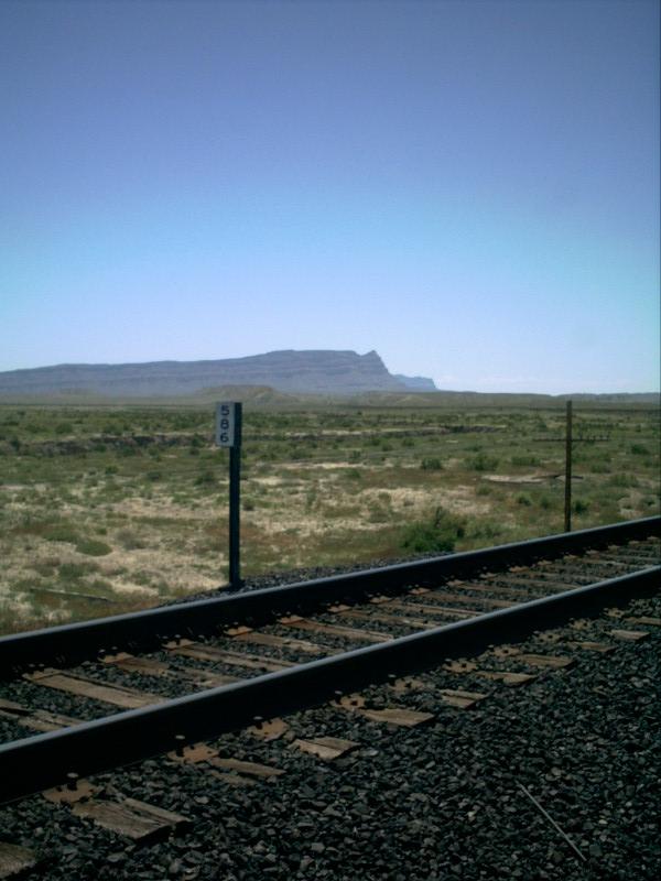
Picture 5
In the distance behind milepost 586, some desert cliffs can be seen. Thesecliffs comprise the east fact of Cedar Mountain. The Price River, after havingdiverged from the tracks at Woodside, runs along the base of the mountain.
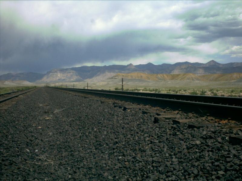
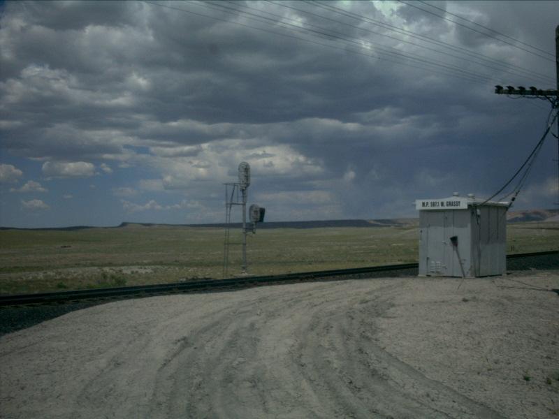
Picture 6
To the north, the clouds begin to move in a bit and look rather threatening!If this storm ended up packing any kind of punch, it stayed north toward themountains. This is, however, the type of storm that will generate washouts allthroughout the desert!
Picture 7
Looking back [track wise] east toward Woodside, the tracks curve to the leftafter leaving Grassy, down the 1.16 percent grade. The tracks can be seen cuttingacross the desert just below the horizon.
As with most sidings, Grassy has a house track. It has actually becomemore of a stub track now, however, as there is access to it from only one end.The house track breaks off from the siding and runs a short 200 feet or so to adead end in the brush.
Picture 8
This picture looks [track wise] east and shows the switch off of the sidingand onto the house track.
Picture 9
As you can see, the house track is not too long at all, and comes to arather abrupt stop at the east end.
Picture 10
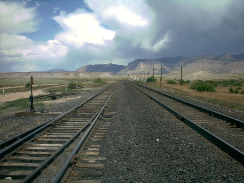
Looking west from the west (and only) switch of the house track, we canclearly see the west end of the siding. There is a white shed on the right sideof the tracks. Just to the left of the shed is the block signal on the mainline.
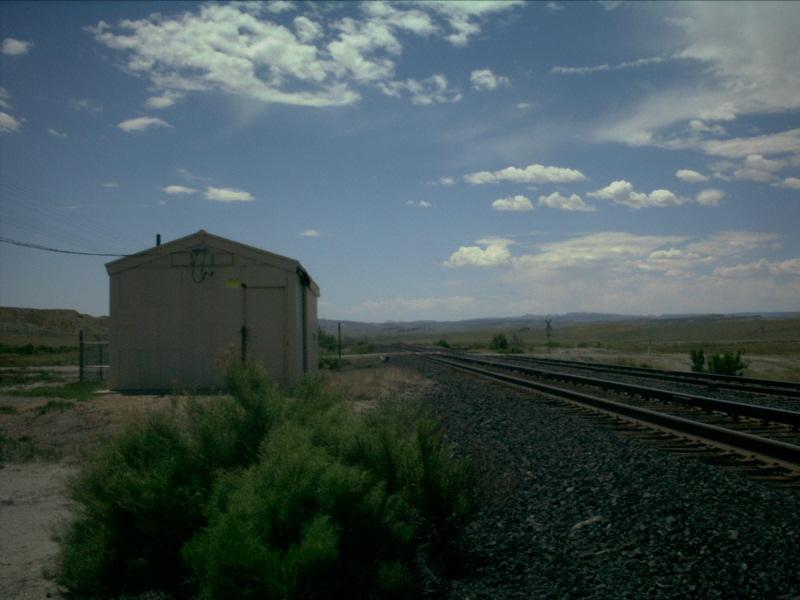
We now move down to the west end of the siding where the grade crossingcan be found. In addition to the grade crossing, there is a white shed here at thewest end of Grassy, which houses equipment. The shed is similar to the greensheds found at Plain.
Picture 11
Here is the white shed mentioned above. Just beyond the shed, the dirt roadcrossing can be seen traversing the tracks. Following this road off to the leftof the picture will take you to US Hwy 6.
Picture 12
Just like the east end of the siding, the tracks curve off to the left assoon as the siding ends at the west end. The tracks run to the left and offtoward the summit of Cedar Hill, which is now only ~5 miles to the west.
Picture 13
Taken from the other side of the tracks as Picture 12, this shot lookstoward the mountains in the distance. Note the siding rising ever so slightlyat the west end to come back up to the same level as the mainline.
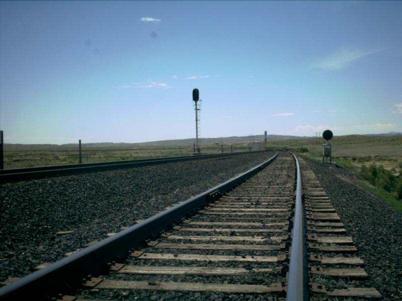
Picture 14
As we have seen with many other sidings in the desert, the signals at thewest end of Grassy are fairly standard. The mainline signal has a ladder on thefront which can be used to gain access to the lights if they need servicing.The dwarf signal on the siding is no more than 18 inches tall and has a singlelight....
Picture 15
....and that single light is the only one at Grassy that is not "ApproachLit". A signal that is approach simply means that the signal will not becomeactivated unless there is a train within the block leading up to the signal.There are, however, some signals that are left on all the time, regardless ofwhether or not the block prior to the signal is occupied.
Picture 16
Similar to Picture 12, this picture looks again looks to the west throughthe curve leading up toward Cedar Hill.
Picture 17
Having come through the entire length of the siding, we look back throughthe west switch toward the east. The mud mounds are starting to pop up a littlemore here at the west end as we get closer to the summit of Cedar Hill.
Picture 18
Notice that the top searchlight of the signal here at the west end ismissing its large sun visor.
Picture 19
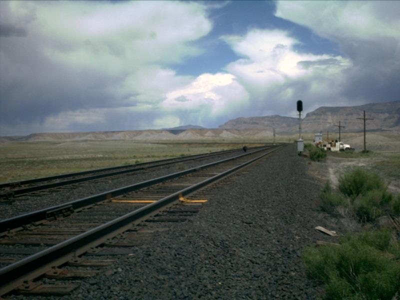
In the distance is the summit of Cedar Hill as far as the tracks areconcerned.
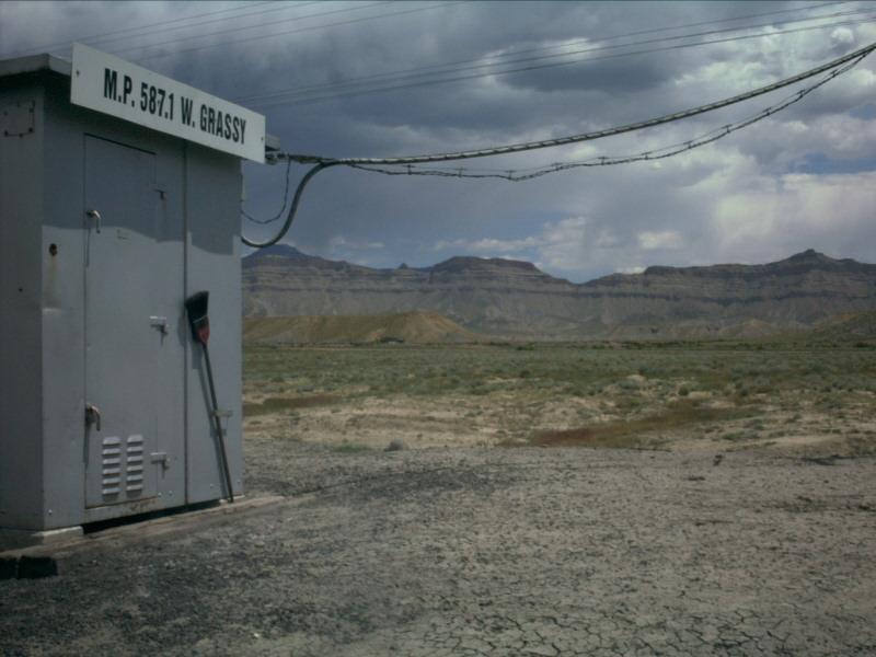
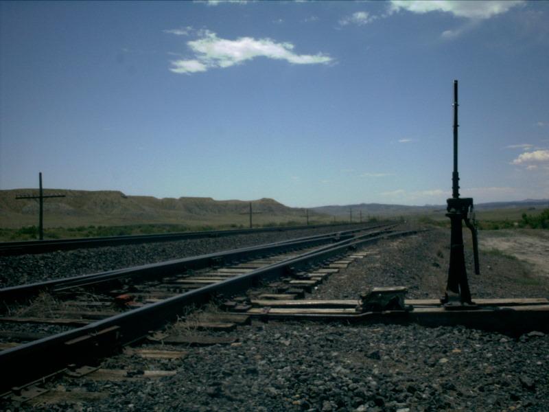
Picture 20
Finally, we close out Grassy with this picture which includes thecontrol box at the west end of the siding along with solid rock cliffs.
GRASSY STATISTICS
EAST SIGNALS
WEST SIGNALS
Date Added: 5/28/2001
Subdivision.. Green River
Milepost..... 586.6
Length....... 6,210 feet
Speed........ 70-50
Dispatcher... DS-84 (Trick 2) / DS-78 (Tricks 1,3)
AAR.......... 54 (160.920)
House Track.. Yes, approx 200 feet (not connected to siding at east end)
Branches..... None
Grade Xing... One Dirt Road
Access Road.. None
Westbound......... Approach Lit
Eastbound Main.... Approach Lit
Eastbound Siding.. Approach Lit
Eastbound......... Approach Lit
Westbound Main.... Approach Lit
Westbound Siding.. Always On
Last Data Update:
Last Picture Update:
|
|
Check out ColoradoRailfan.com on Facebook |
|
|
Check out the latest ColoradoRailfan.com photos on Flickr |
|
|
|
||||||