The Siding Of
Westwater
| West to Floy |
The Siding Gallery, by design, does not show any trains (unless it is unavoidable) in pictures of the sidings. This is so you can see the layout of the land and get your own ideas on how to take pictures of trains. However, if you'd like to see pictures taken from various spots at this siding, then you can Search the Photo Gallery for pictures here on ColoradoRailfan.com!
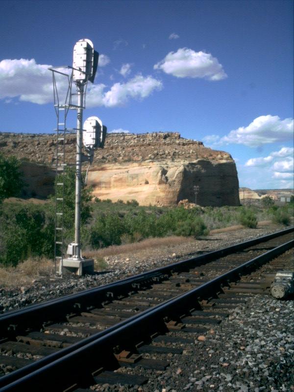
The Siding of Westwater is located at milepost 488.4 on the Green RiverSubdivision. Westwater really marks the far west end of Ruby Canyon and begins thetransition from canyon to desert. It is a relatively long siding, third longest onthe Green River Sub behind only Wash (11,240 ft) and Price (10,790 ft).
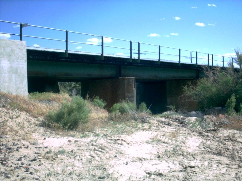
There are several roads in the vicinity of Cisco, UT that lead to the west end ofRuby Canyon. One of these roads in particular leads to a bridge running underneaththe mainline. Just east of this bridge is the west end of the Westwater siding.
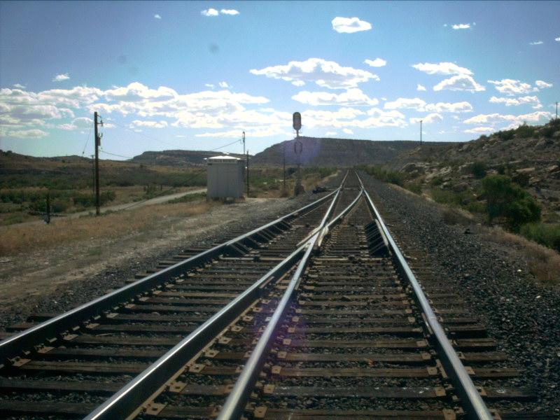
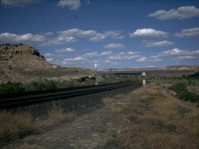
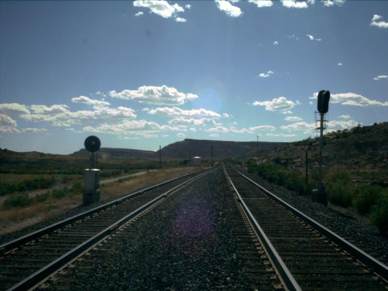
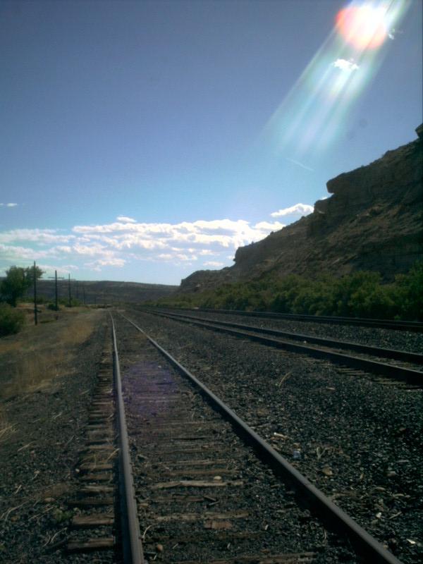
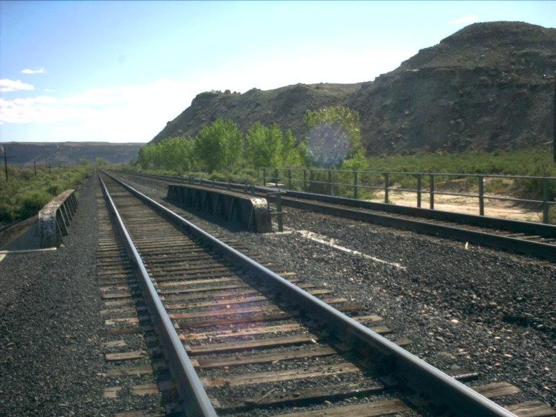
Picture 1
Look west out the west end of the siding, the terrain is starting to look moreand more like desert and less and less like the mountains left behind only 100miles back!
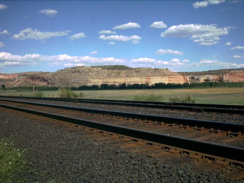
Picture 2
And then, to the east, the west end of Ruby Canyon can be seen. Ruby Canyon istruly spectacular, although not quite so much as Gore Canyon or Glenwood Canyon!
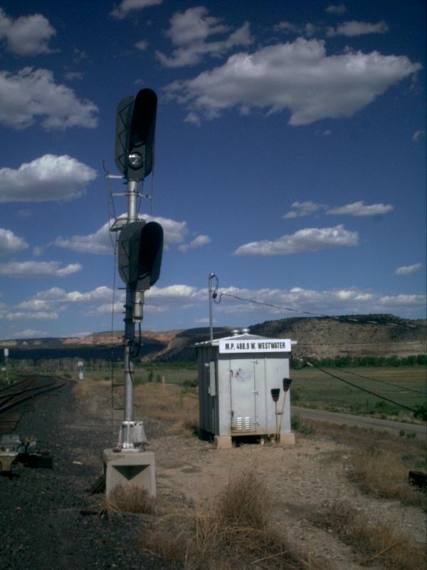
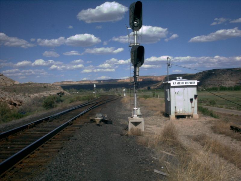
Picture 3
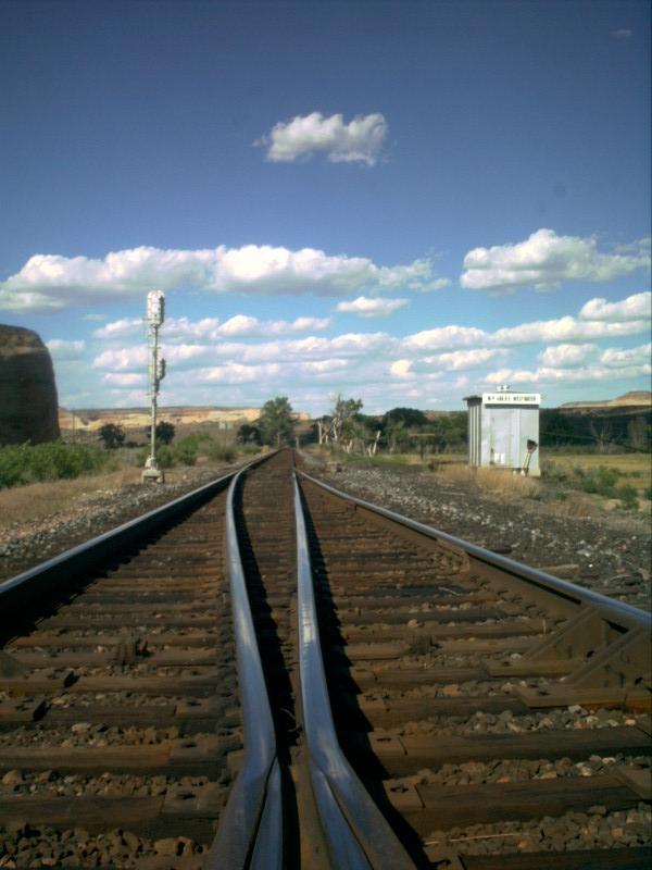
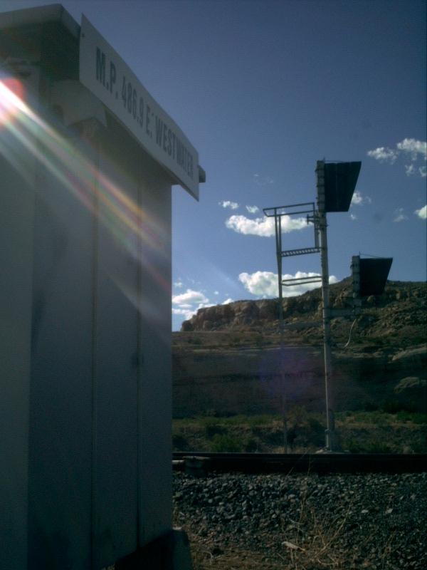
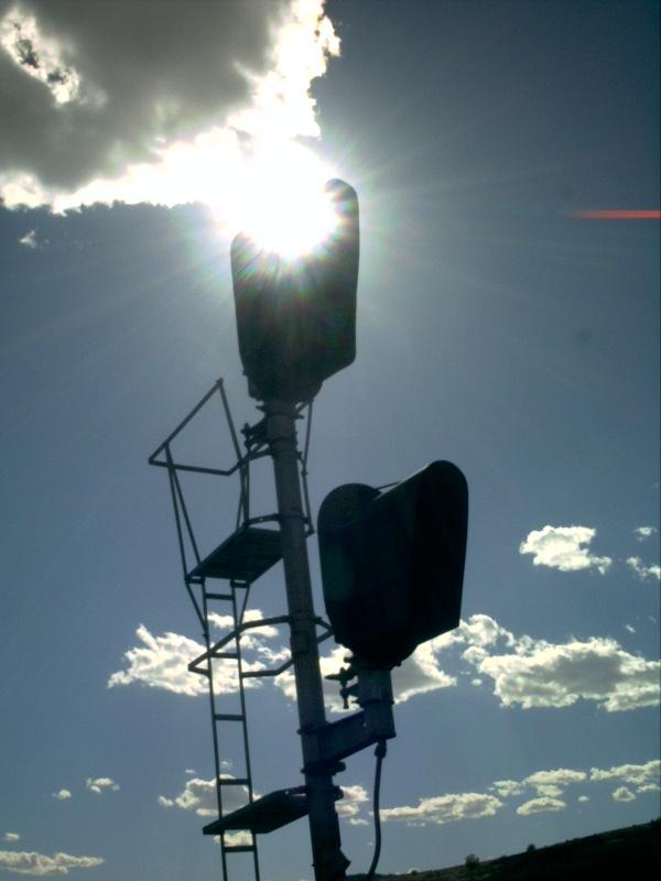
Here is a better shot of the signal at the west end. Notice the broompropped up against the silver control box. Among other uses, it serves tobrush away any buildup (namely snow / ice) around the points of a switch...
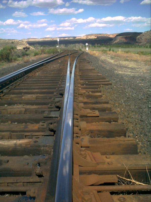
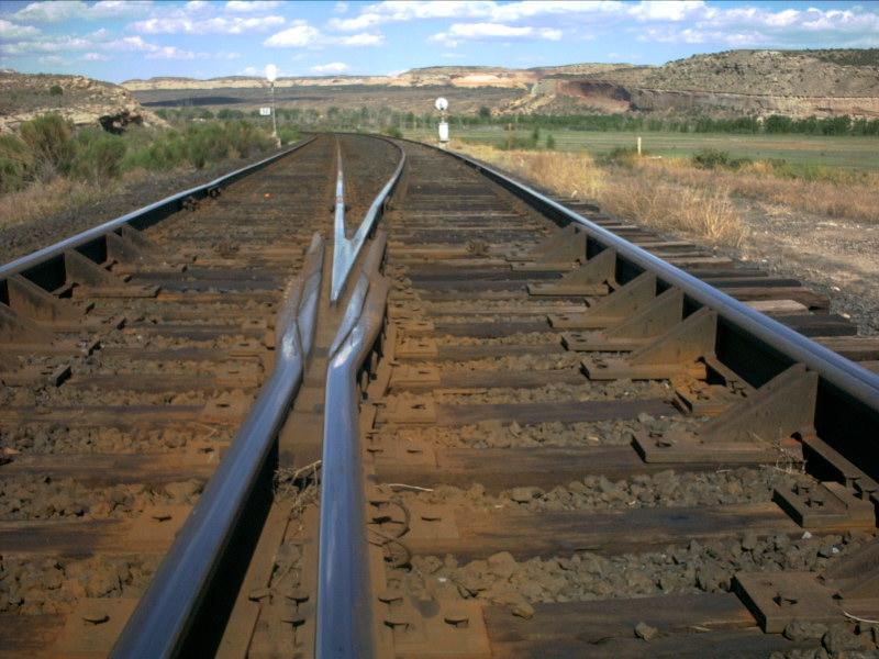
Picture 4
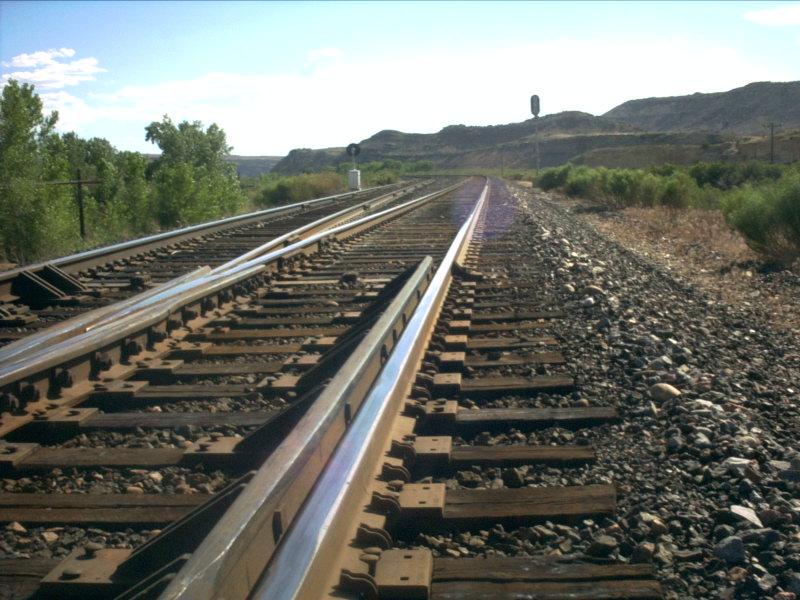
...and speaking of the points of a switch, this shot looks down the southrail, leading into the siding. There is a very distinct rusty color to thetie plates through here. Makes for a very cool contrast to the sky.
Picture 5
The rusty colored tie plates are seen a little more clearly in thispicture. They even make for a nice contrast against the rails!!
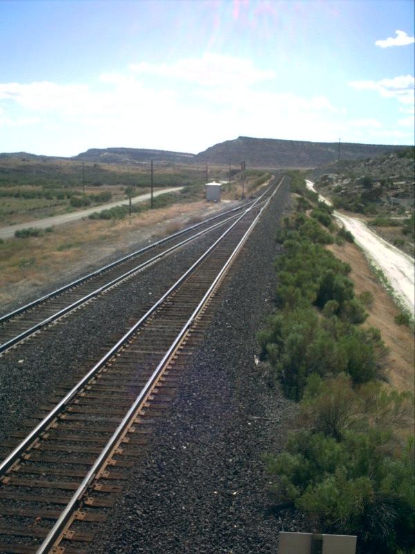
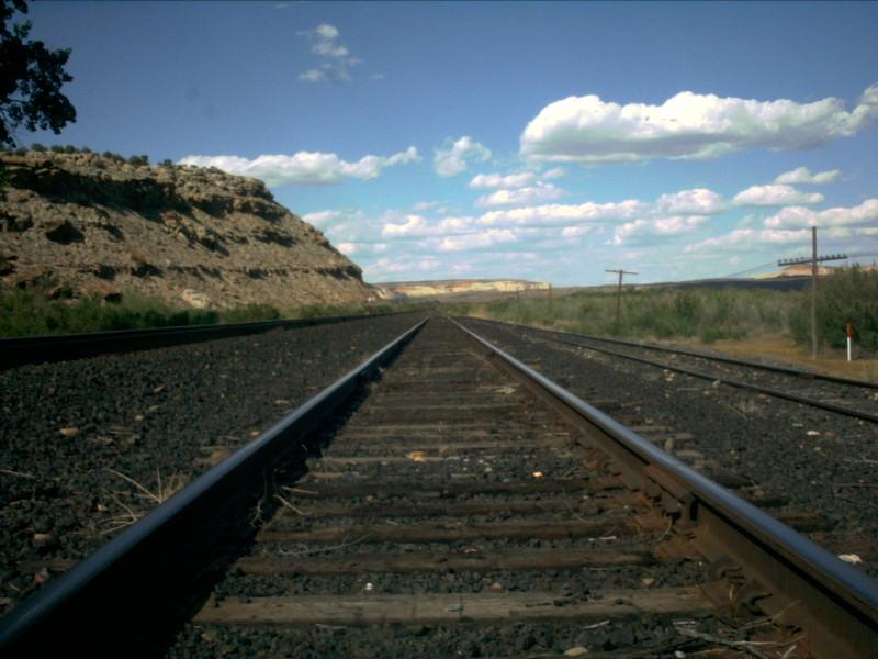
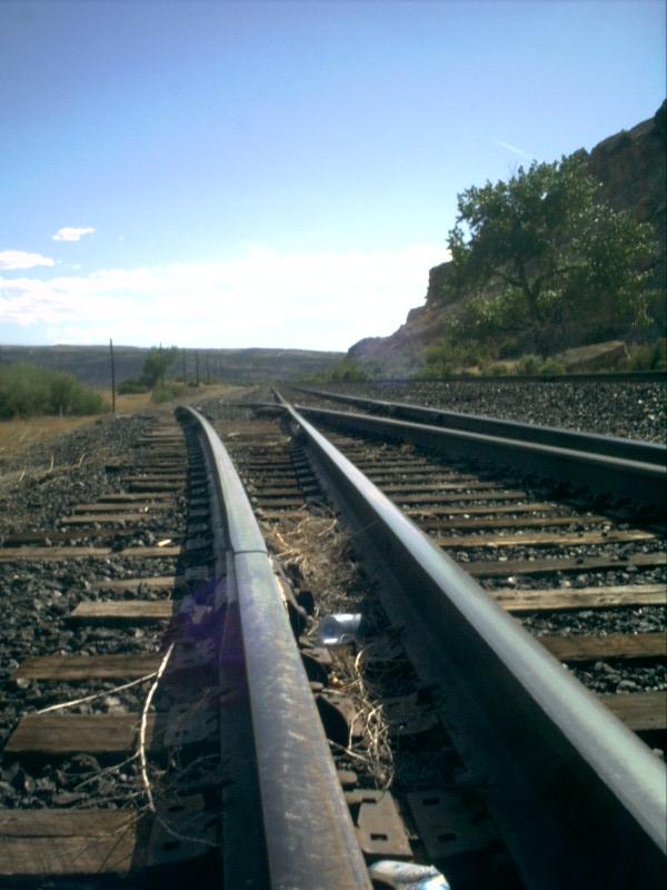
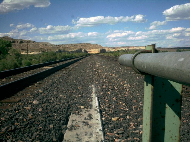
Picture 6
Westwater winds around a slight bend here at the west end and hits a longstraightaway, and then curves to the right before finally reaching the eastend of the siding, almost two miles away.
Picture 7
Here is a shot looking westbound...note the dirt road on the left side ofthe picture. This is a public road which eventually leads to Ruby Canyon.
Picture 8
It only seems to be the tie plates on the mainline that have the rustycolor to them. The track on the left in this picture is the main and, of course,the one on the right is the siding.
Picture 9
Another shot looking west out the west end of the siding. This picture wastaken around 4:30pm in the afternoon in late May. The temperature, even in May,was nearly 90 degrees!
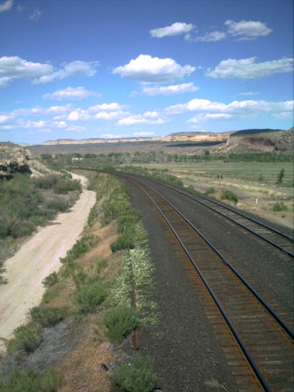
Picture 10
Here is a good example of the type of rock formations found in RubyCanyon. Here at Westwater, the tracks diverge from the Colorado River. Thetracks have followed the river since Dotsero, which is 146 miles to theeast!
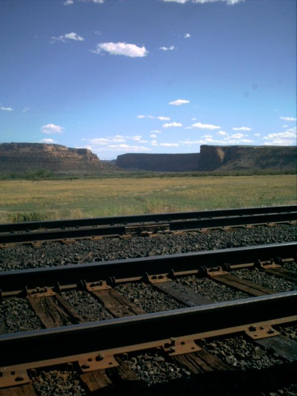
Picture 11
Another canyon actually begins further to the south, but the goal for thetracks is to reach Salt Lake City, which means curving toward the north anddirectly into the Utah desert. Indeed, one of the names of the sidings furtherwest is "Desert".
Like many sidings, Westwater has a house track located off of thesiding near the halfway point. Although Westwater is a rather long siding,the house track is not much longer than the average house track, roughly1,500 feet. There is also a bridge near the east end of the siding, underwhich a small stream flows to the converge with the Colorado River.
Picture 12
The siding is slightly lower in elevation than the mainline as can be seenin this picture. The reason for this is to prevent any cars on the siding fromrolling "uphill" to the mainline at either end of the siding. Likewise, thehouse track (on the far right), is even lower in elevation for the same reason.
Picture 13
It was just the right time of day to get some solar glares that actuallymade some of the pictures look rather good! This is one of those pictures...thesun shining down on the infrequently used house track!
Picture 14
Here is the switch at the east end of the house track. Here is the longstraightaway that I mentioned in picture 6 above.
Picture 15
Notice the drop in elevation? The house track can clearly be seen runningdown a minor grade in this picture, off of the siding.
Picture 16
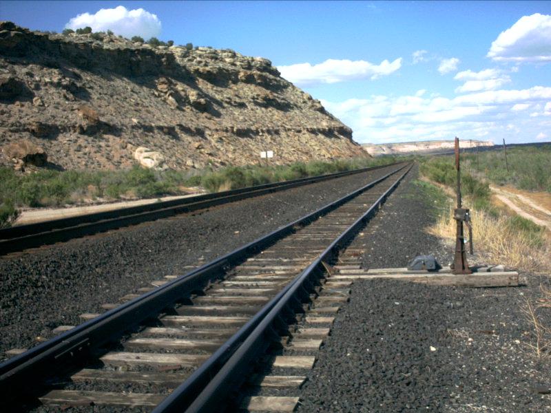
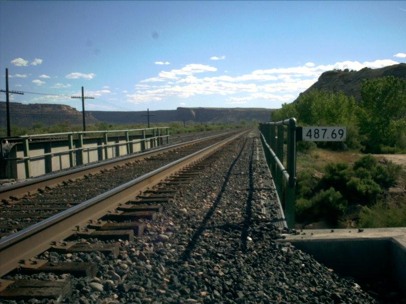
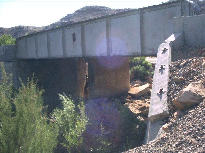
This brings us to the bridge, located at milepost 487.69. There are actuallytwo bridges: one for the mainline and one for the siding. No doubt the sidingonce ended short of the bridge, so when the siding was extended, a second bridgewas built to accompany the siding.
Picture 17
In fact, it is very possible that there was only one bridge here asrecently as 1977. In the Denver and Rio Grande Western System Timetable,effective January 1, 1977, Westwater is listed as being a length of 5,100 feet.This means the siding has been extended 4,790 feet (almost double in length)sometime in the last 15 years.
Picture 18
Okay, time for all you modelers to get to work! This is the bridge forthe siding, running over the stream amongst the rocks below. Unfortunately,there was no sign of "Rio Grande" ever having been painted on the side! Thisbridge vaguely resembles the bridge located at the mouth of Coal Creek Canyonin Colorado!
Picture 19
This picture looks to the east, along the extended portion of the siding.Notice the variation in color between the ballast on the mainline and the ballaston the siding.
Picture 20
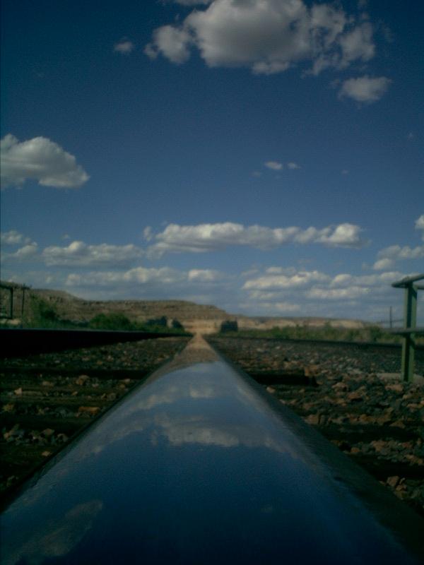
This picture is just awesome! It turned out extremely well. The lightingon the rail was just right to be able to reflect the clouds in the sky perfectly!This is a particularly round rail head too. Probably been grinded down some.
Picture 21
And here, for all the modelers out there, is the bridge that the mainlineruns on. For some perspective, the mile marker on the bridge from picture 16is in the upper left corner of this picture.
This brings us to the east end of Westwater siding. The shrubs are alittle bigger here as the siding is a little closer to the Colorado River. Theeast end of the siding is actually the last siding that is in the state of Utahwhen heading eastbound. The next siding east is Utaline, which ironically islocated entirely in Colorado!
Picture 22
The ridge in the distance just to the left of the dwarf in this picture isthe same ridge we saw in picture 13. This ridge is near the west end of thesiding.
Picture 23
And here the tracks move off toward Ruby Canyon. After leaving Westwatereastbound, the speed limit moves up to 79-60 through Utaline, but then takesa rather significant cut back to 55-50 through Ruby Canyon.
Picture 24
Here is another shot where the sun is just sneaking into the picture.This actually wasn't intentional at the time the picture was being taken, butit actually turned out to make a great effect!
Picture 25
This picture, however, was very intentional...
Picture 26
The last picture for the siding of Westwater looks to the east in the lightof the setting sun...
WESTWATER STATISTICS
EAST SIGNALS
WEST SIGNALS
Date Added: 5/28/2001
Subdivision.. Green River
Milepost..... 488.4
Length....... 9,890 feet
Speed........ 70-60
Dispatcher... DS-84 (Trick 2) / DS-78 (Tricks 1,3)
AAR.......... 54 (160.920)
House Track.. Yes, approx 1,500 feet
Branches..... None
Grade Xing... None
Access Road.. Yes, Full Length (Private Property, Railroad Use Only)
Westbound......... Approach Lit
Eastbound Main.... Approach Lit
Eastbound Siding.. Approach Lit
Eastbound......... Approach Lit
Westbound Main.... Approach Lit
Westbound Siding.. Approach Lit
Last Data Update:
Last Picture Update:
|
|
Check out ColoradoRailfan.com on Facebook |
|
|
Check out the latest ColoradoRailfan.com photos on Flickr |
|
|
|
||||||