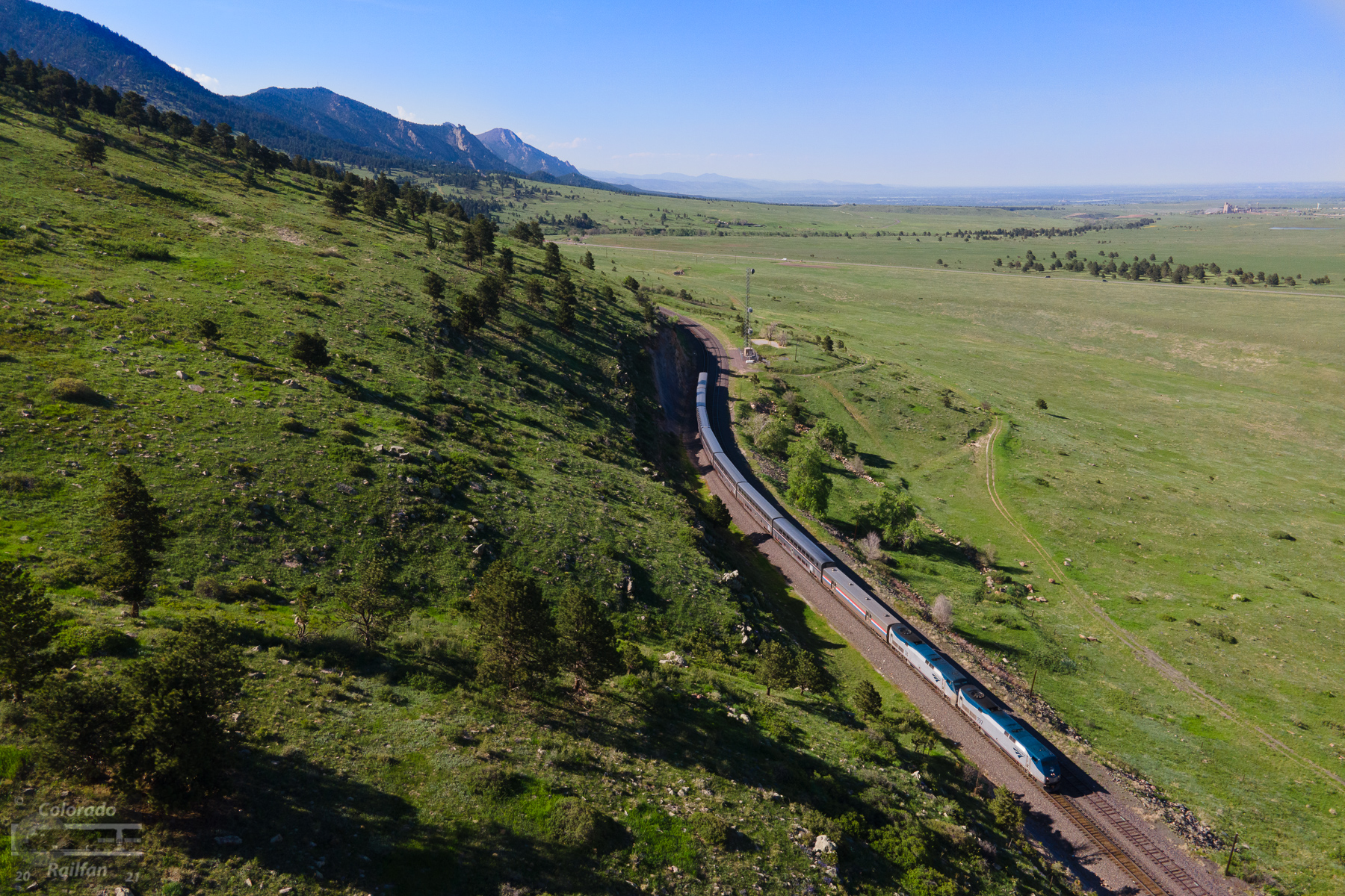
The eastbound Zephyr rolls east on the main at Eisele as it continues the journey east toward Denver and points beyond. Eisele is really the last place the eastbound Zephyr will skirt the front range of the Rockies before leaving the mountains behind after descending down from Big Ten Curve ahead. The siding was originally called Fire Clay, due to the red clay rock found in the area. When Rio Grande shortened many siding names on the system, it was shorten to just Clay. Then, just over eight years ago, on April 2, 2013, UP changed the name from Clay to Eisele in honor of Charley Eisele, a UP official that retired.
Email Questions or Comments to the Webmaster.
|
|
|
|
No comments posted yet. Click Here to add the first one!
|
|
|
|
|